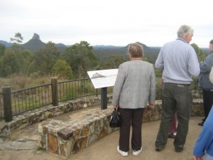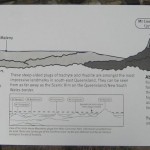
The Glass House Mountains were once lava plugs within volcanic cones. The volcanic cones and surrounding Landsborough sandstone were eroded by wind and water over 25 million years to reveal the lava plugs which you can see today.

This is an anti-biblical perspective, which of course is the dominating philosophy in geological circles today.
The following wording would present the same information without a bias:
The Glass House Mountains were once lava plugs within volcanic cones. Subsequent geologic processes have removed material from the volcanic cones and surrounding Landsborough sandstone to reveal the lava plugs which you can see today.
Biblical history records what really happened in the past, so we should say something like this:
The Glass House Mountains were once lava plugs within volcanic cones erupted about half-way through Noah’s Flood about 4,500 years ago. The volcanic cones and surrounding Landsborough sandstone were eroded as the floodwaters receded into the ocean, revealing the lava plugs which you can see today. Not much erosion has happened since then.
Now, that would change the way people look at the landscapes, wouldn’t it?
For more detail see The Glass House Mountains.
matt
That whole area, from the Glasshouse mtns, down to the Border Ranges and Mt. Warning and out across the pacific to Norfolk and Lord Howe island was once incredibly active … plugs are everywhere.
Just looking at the erosion patterns around Mt.Warning, you can just see that a Flood interpretation is perfectly valid and warrants further study, but the academic bias is such that anyone attempting to present such an argument would be ridiculed and discredited. So much for the spirit of an unbiased scientific inquiry.